
/ Spatial Intelligence
Transforming Geospatial Data into Intelligent Decisions
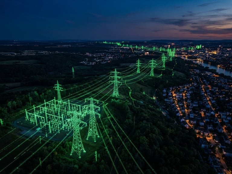
EuroSpatial combines Artificial Intelligence, Computer Vision, LiDAR and Digital Twins to deliver trusted spatial intelligence for utilities, governments and critical infrastructure operators.
Multi Sensor Platform
One Platform. Multiple Intelligence Sources
EuroSpatial integrates Artificial Intelligence, Computer Vision, LiDAR, Remote Sensing and Digital Twins into a single platform for monitoring, analyzing and optimizing critical infrastructure.
Computer Vision
Software development
LiDAR
AI Prediction
Digital Twins
High-density 3D mapping for accurate asset modeling, terrain analysis and infrastructure inspection.
AI-powered detection, classification and risk assessment from images and video streams.
Real-time visualization and intelligent decision support through interactive digital twins.

Reliable Data
Secure Data. European Standards.
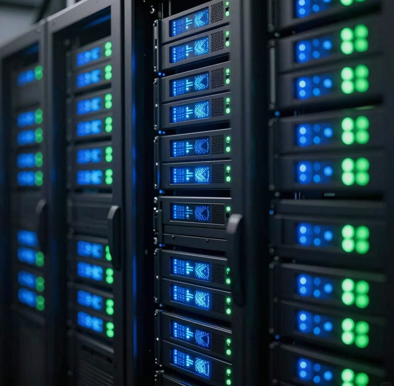
EuroSpatial is designed to protect sensitive geospatial information through secure data management aligned with European standards. Our platform supports organizations that require trusted processing of critical infrastructure data.
Let's Build Smarter Infrastructure Together
Discover how EuroSpatial's AI-powered Spatial Intelligence platform can help your organization improve safety, operational efficiency and environmental performance.
EuroSpatial
Spatial Intelligence for Critical Infrastructure
Plataform
Company
Solutions
Tecnology
Contact
Contact
info@eurospatial.eu
Tallin, Estonia
European Deep-Tech Company
© 2026 EuroSpatial Innovations OÜ - Spatial Intelligence for Critical Infrastructure
Built in Europe • Trusted Worldwide